Tag Archives: citywalk

mapping graz

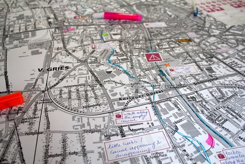
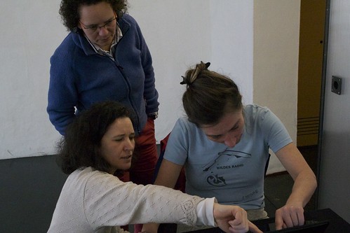
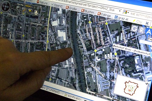
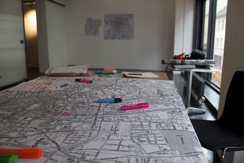
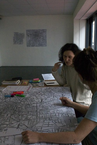
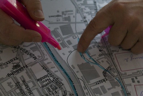
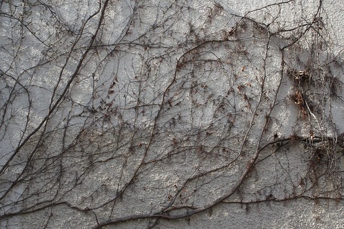
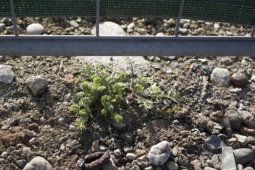
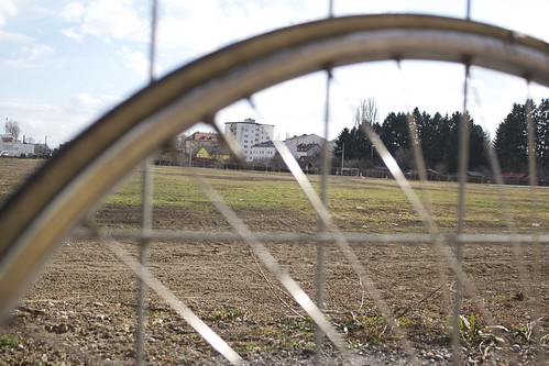
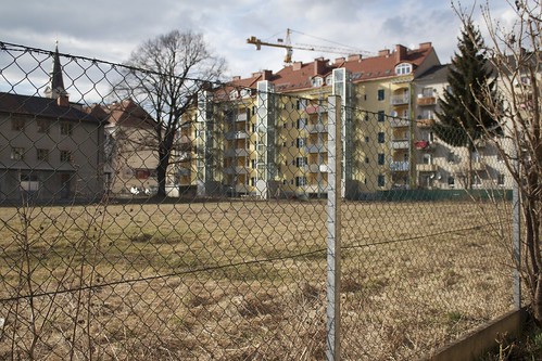
March 2011: after a citywalk through Graz we mapped the upcoming ESC projects in the city’s public space. The long term projects will be documented in the OpenGreens database. Projects concern: creek walks, wasteland monitoring, creating OpenGreens city gardens, a public school project, sonification of the city.
The results of the mapping and ongoing comments on the first lay-out will be presented during the exhibition Take Your Time – Graz april 2011.

IMG_1674 IMG_1661 IMG_1669 IMG_1672 IMG_1666 IMG_1645
IMG_1649 IMG_1653 IMG_1673

graz city walk

We are in Graz to present the OpenGreens database for the first time. We will do a mapping session with the stakeholders of the OpenGreensGraz, and contextualize the OpenGreens in different levels on the city map. As a preparation, we go for a city walk, and our local guides give us background information during this nice stroll through the inner city, its hidden gardens, backyards and wastelands.
More information will follow later this week after the mapping session and the introduction to the OpenGreens database.

Graz' city garden Graz' city garden eranthis hyamalis - winterakoniet galanthus nivalis - sneeuwklokje Graz' city garden Graz city
Graz city Graz' city garden Graz' city garden Graz' city garden Graz rooftop garden IMG_1622
IMG_1626 Graz' wasteland Graz' wasteland IMG_1629 tussilago farfara - klein hoefblad IMG_1628
IMG_1633 Graz' city garden